


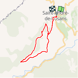

12.1 km | 24 km-effort


User


FREE GPS app for hiking
 SityTrail
IGN / Geographical institutes
SityTrail World
The world is yours!
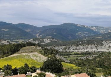
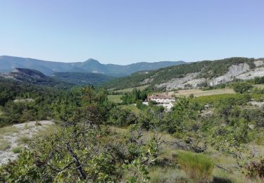
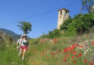
Trail Walking of 7.3 km to be discovered at Provence-Alpes-Côte d'Azur, Hautes-Alpes, Saint-André-de-Rosans. This trail is proposed by Emelle.
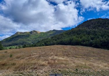
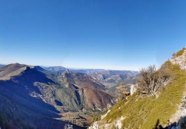
Circuit facile et bucolique avec sentier balisé en crête parsemé de genêts et aphylanthes de Montpellier.
Walking
Walking
Walking
Walking

Mountain bike
Walking
Walking
Walking

Mountain bike