


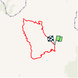

13.6 km | 26 km-effort


User


FREE GPS app for hiking
 SityTrail
IGN / Geographical institutes
SityTrail World
The world is yours!
Trail of 6.7 km to be discovered at Auvergne-Rhône-Alpes, Savoy, Aime-la-Plagne. This trail is proposed by Cardinje.
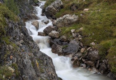
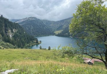
Départ du parking de Laval ou de Pré jeune, prendre la direction du Tour du Beaufortain, suivre la piste puis ensuite les lacets jusqu'au col de la Pouprezaz. Continuer direction le col du Cormet d'Arêches et le refuge de la Coire. Retour par la chapelle Ste Marguerite et la cascade.
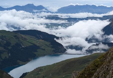
Walking
Walking

Walking
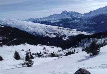
Touring skiing
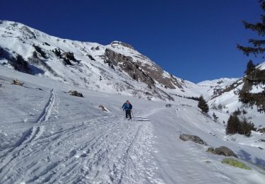
Touring skiing

Walking
Walking

Snowshoes
Walking