


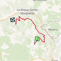

12.4 km | 20 km-effort

User


FREE GPS app for hiking
 SityTrail
IGN / Geographical institutes
SityTrail World
The world is yours!
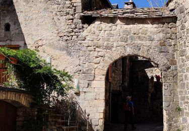
Trail Walking of 19.9 km to be discovered at Occitania, Aveyron, La Roque-Sainte-Marguerite. This trail is proposed by janussity.
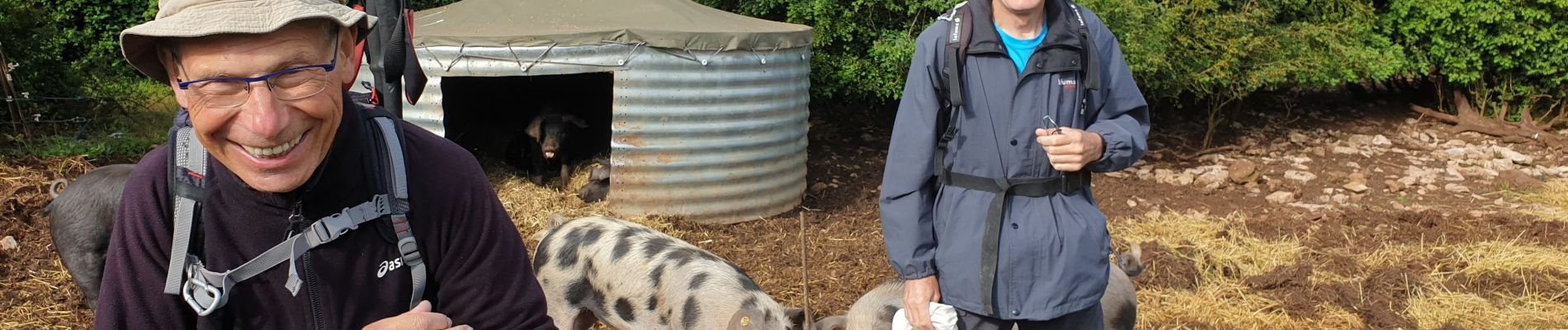
Beau temps
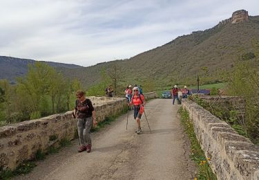
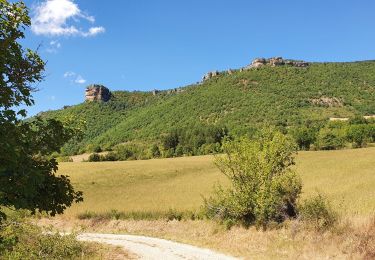
Vue extraordinaire sur le pont de Millau, sur les gorges de la Dourbie et le Causse Noir. Vautours et rochets ruiniformes. 23.5 km et 500 D.
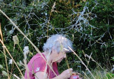
Panne batterie.


Walking
Walking
Walking
Walking

Walking

Running

Walking
Cycle