


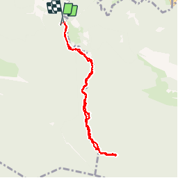

9.8 km | 16.7 km-effort

User


FREE GPS app for hiking
 SityTrail
IGN / Geographical institutes
SityTrail World
The world is yours!
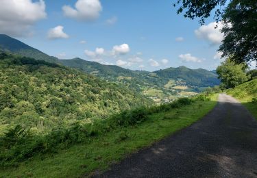
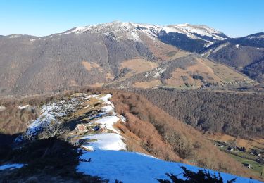
Trail Walking of 8.3 km to be discovered at Occitania, Hautespyrenees, Asque. This trail is proposed by jacq58.


Walking

Walking
Walking
Walking
Walking

On foot
Walking

Walking
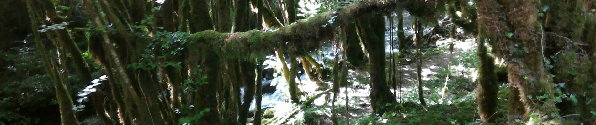
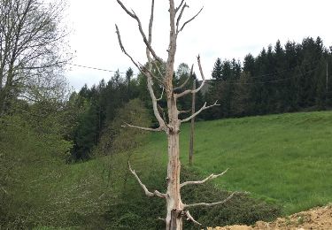
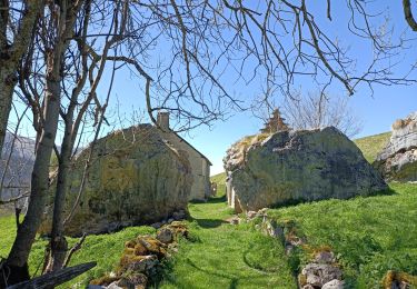
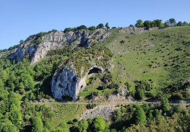
randonnée facile en sous bois en remontant la rivière Arros jusqu'a sa source (gourgue d'asque).