


11.2 km | 21 km-effort

User


FREE GPS app for hiking
 SityTrail
IGN / Geographical institutes
SityTrail World
The world is yours!
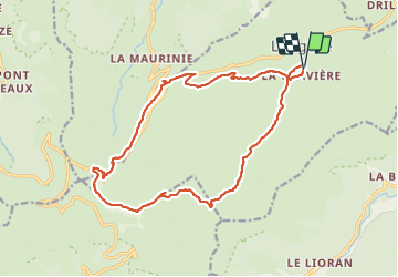
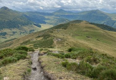
Trail Walking of 18.9 km to be discovered at Auvergne-Rhône-Alpes, Cantal, Lavigerie. This trail is proposed by Orcal37.
Cantal - La Gravière - Les Fours de Peyre-Arse - 18.9km 760m 8h05 (30mn) - 2019 07 04
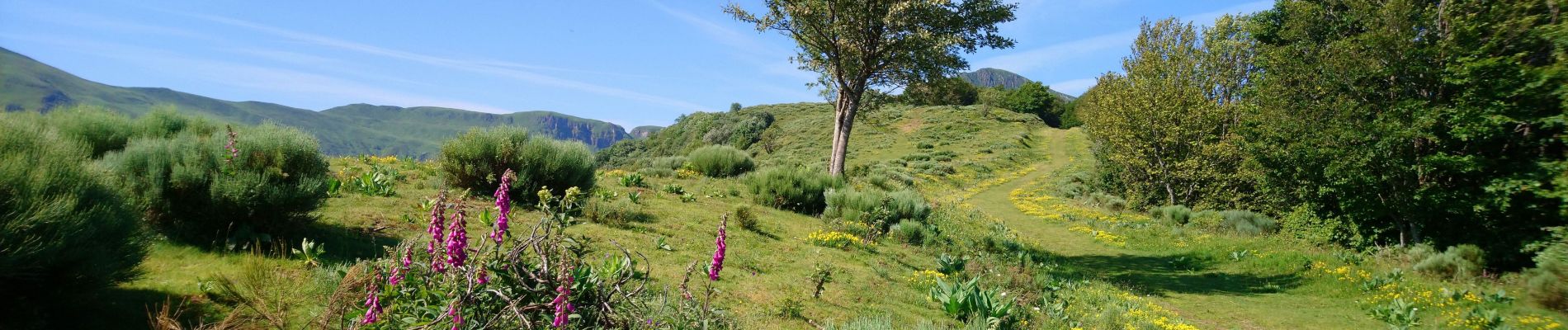
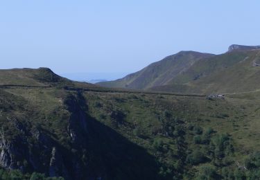
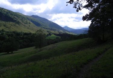
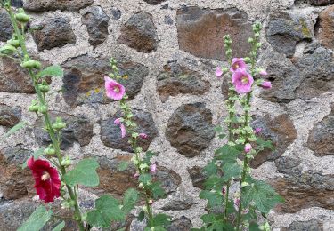
 - 2019 07 04 - Photo 1")
 - 2019 07 04 - Photo 2")
 - 2019 07 04 - Photo 3")
 - 2019 07 04 - Photo 4")
 - 2019 07 04 - Photo 5")
 - 2019 07 04 - Photo 6")
 - 2019 07 04 - Photo 7")
 - 2019 07 04 - Photo 8")
 - 2019 07 04 - Photo 9")

Walking

Walking

Walking
Walking
On foot
On foot

On foot
Walking
Walking