


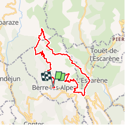

10.5 km | 17.6 km-effort

User


FREE GPS app for hiking
 SityTrail
IGN / Geographical institutes
SityTrail World
The world is yours!
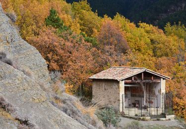
Trail Walking of 18.1 km to be discovered at Provence-Alpes-Côte d'Azur, Maritime Alps, Berre-les-Alpes. This trail is proposed by Axelloceane.
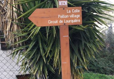
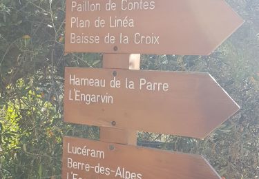
Départ de Berre Les Alpes en suivant le sentier balisé menant à Baisse de la Croix .Au croisement tourner à droite pour rejoindre l'Escarène . Traverser le village et rejoindre le col de Nice . Tourner à droite direction Berre les Alpes.Suivre la route sur 800m et prendre le chemin sur la droite(rejoindre Berre les Alpes par la route trop dangereux pour les piétons).Suivre le chemin et ensuite reprendre un sentier baliséà gauche pour terminer à Berre les Alpes


On foot

Walking
Walking
Walking
Walking
Walking
Walking
Walking
Walking