


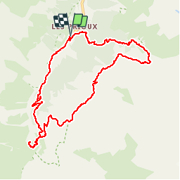

12 km | 28 km-effort

User


FREE GPS app for hiking
 SityTrail
IGN / Geographical institutes
SityTrail World
The world is yours!
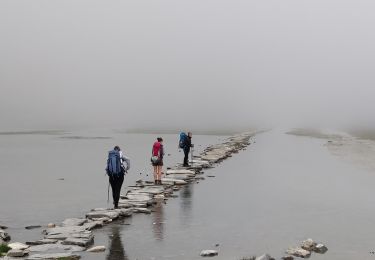
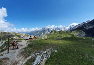
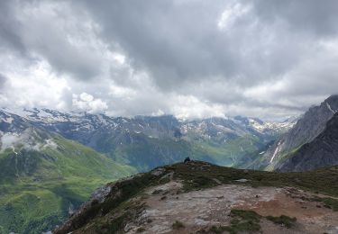
Trail Walking of 11 km to be discovered at Auvergne-Rhône-Alpes, Savoy, Pralognan-la-Vanoise. This trail is proposed by countryjack.


Walking
Walking

Walking
Walking

Walking
Walking

Walking
Walking
Walking
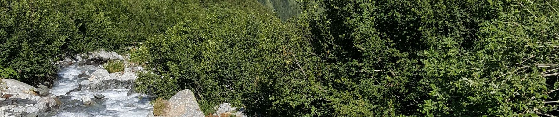
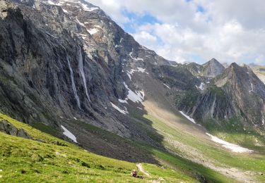
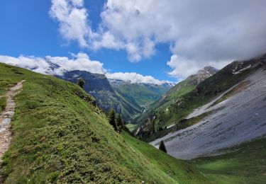
merci pour les photos qui sont magnifiques