


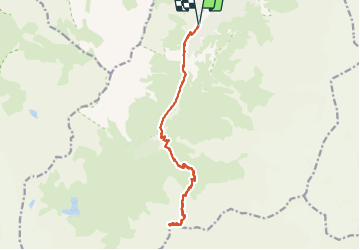


11 km | 19.3 km-effort

User GUIDE


FREE GPS app for hiking
 SityTrail
IGN / Geographical institutes
SityTrail World
The world is yours!
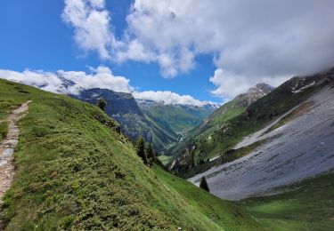
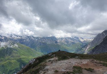
Trail Walking of 17 km to be discovered at Auvergne-Rhône-Alpes, Savoy, Pralognan-la-Vanoise. This trail is proposed by amiral13.
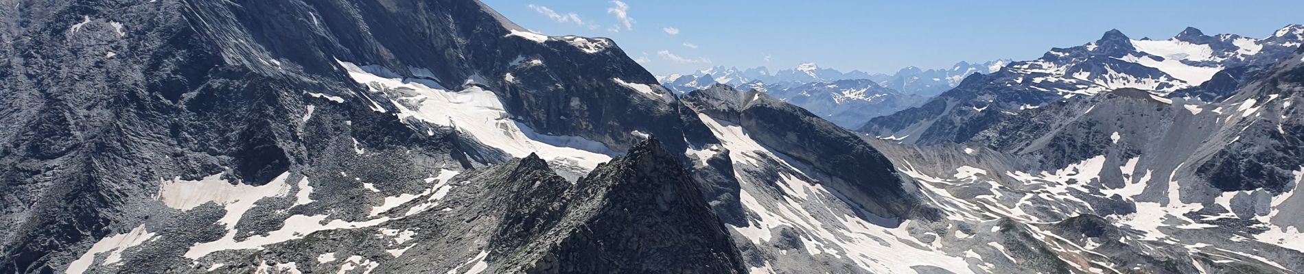
Un magnifique belvédère du massif du Mont Blanc à celui des écrins lorsque le temps est dégagé.
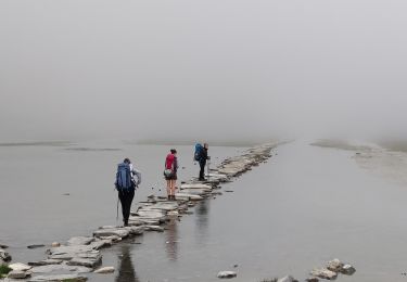
Attention il s'agit d'une randonnée assez longue et avec une dénivelée conséquente.
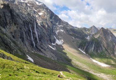
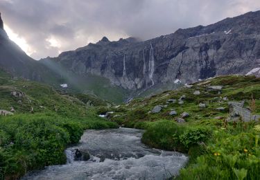
D'autre part, sur les 300 ou 400 derniers mètres de dénivelée avant le col le sentier est plus difficile et l'on peut y rencontrer des névés jusqu'à la fin juillet.
Pour finir, les 20 ou 30 mètres de dénivelée de la pointe de l'observatoire se compose d'une escalade facile, mais où il faut rester prudent.


23 photos in total. Please click on a photo to see them all in the gallery.
Walking
Walking
Walking
Walking
Walking
Walking
Walking

Walking
Walking