


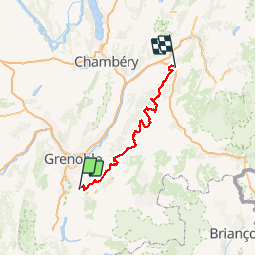


9.4 km | 19.7 km-effort


User


FREE GPS app for hiking
 SityTrail
IGN / Geographical institutes
SityTrail World
The world is yours!
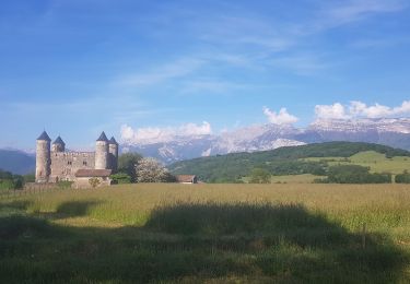
Trail Running of 136 km to be discovered at Auvergne-Rhône-Alpes, Isère, Vizille. This trail is proposed by micleo66.
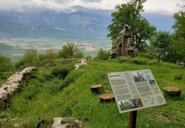
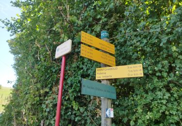
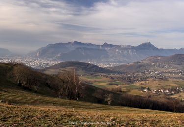
No description available
Walking
Nordic walking
Walking
Walking
Walking
Walking
Walking
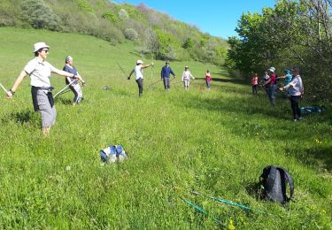
Nordic walking
Nordic walking