


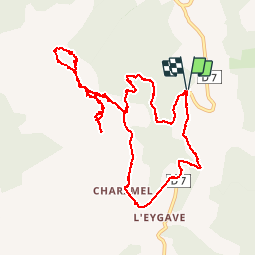


15.6 km | 23 km-effort

User


FREE GPS app for hiking
 SityTrail
IGN / Geographical institutes
SityTrail World
The world is yours!
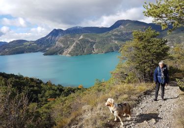
Trail Walking of 12.5 km to be discovered at Provence-Alpes-Côte d'Azur, Alpes-de-Haute-Provence, Ubaye-Serre-Ponçon. This trail is proposed by GILOU440.
départ de la routière .le clôt .
borne 1400m
col de charamel .
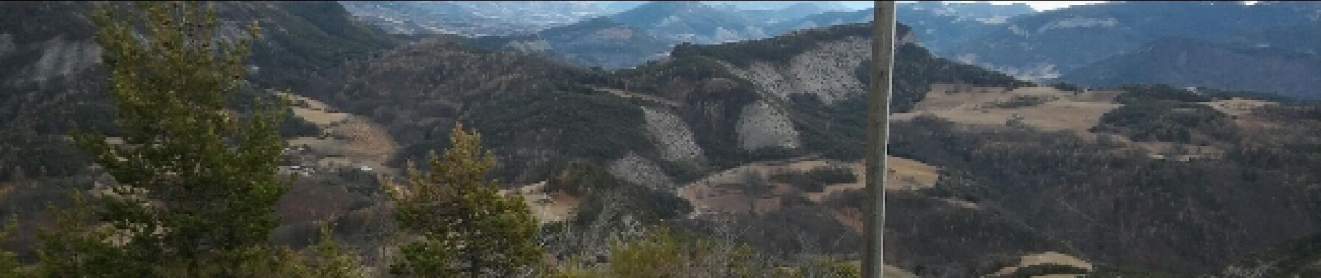
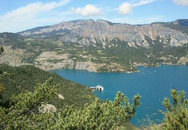
belle vue sur le lac.


Walking
Walking

Walking
Walking
Walking
Walking
Walking
Walking
Walking