


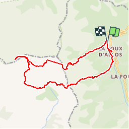

14.8 km | 31 km-effort


User


FREE GPS app for hiking
 SityTrail
IGN / Geographical institutes
SityTrail World
The world is yours!
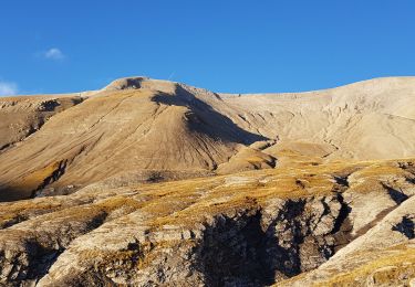
Trail Walking of 21 km to be discovered at Provence-Alpes-Côte d'Azur, Alpes-de-Haute-Provence, Allos. This trail is proposed by perrinfabrice.
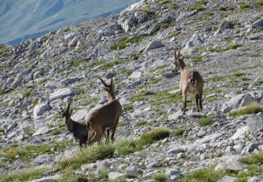
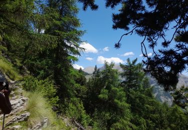
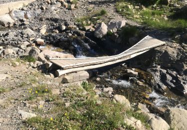
Départ au pied du télésiège "Tardée", suivre "Séolane" jusqu'à "Observatoire 2600" arrivée au télésiège du même nom. Prendre direction le refuge de L'Estrop puis 300 à 500 m plus loin la "Tête de l'Estrop". Suivre l'itinéraire avec balisage et monticules de pierres, jusqu'au sommet "Tête de l'Estrop" panorama sur les 3 vallées. Descente sur le refuge de l'Estrop. Remonter en contouŕnant "l'Auriac" puis redescendre sur la Foux d'Allos. Commentaire : Randońnee de montagne. Ce n'est pas une marche. Il ne faut pas avoir peur pour crapahuter sur les éboulis de rochers, certaines passages sont délicats. Iĺ ne faut pas emmener des petits enfants ou ados n'ayant pas une bonne condition physique. Mais malgré les souffrances, quel plaisir ! Certains passages sont assimilables à de la haute montagne. Notamment "Tête de l'Estrop". Conclusion : On part pour la "Tête de l'Estrop" et on revient estropié.
Walking

Mountain bike
Walking

Walking
Walking
Walking
Walking

Walking
Walking