


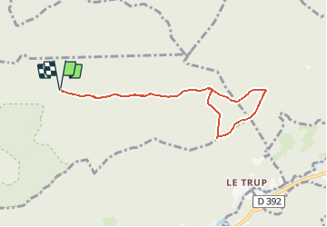

8.7 km | 13.9 km-effort


User


FREE GPS app for hiking
 SityTrail
IGN / Geographical institutes
SityTrail World
The world is yours!
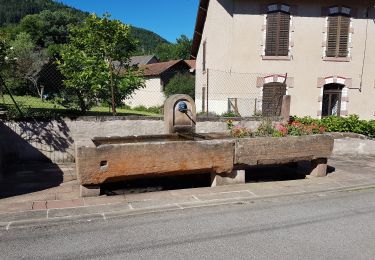
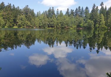
Trail Walking of 7.1 km to be discovered at Grand Est, Meurthe-et-Moselle, Saint-Sauveur. This trail is proposed by Le_Grand.
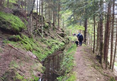
Circuit pédestre sur le territoire de Val et Châtillon (54) à partir de la croix Ehrard en passant par la source du ruisseau du val (source de la vezouze) et la chapelle de Ton, le col de la Charaille, la vierge du trupt et retour direct vers la source du ruisseau du val. le retour vers la voiture par le chemin aller.


On foot
Walking

Walking
Walking
Walking
Walking
Mountain bike
Walking
Walking