


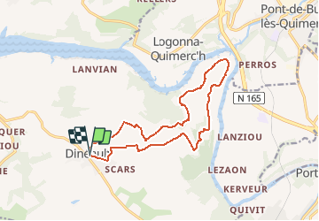

10.2 km | 14 km-effort


User


FREE GPS app for hiking
 SityTrail
IGN / Geographical institutes
SityTrail World
The world is yours!
Trail On foot of 14.5 km to be discovered at Brittany, Finistère, Dinéault. This trail is proposed by cron.
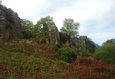
Sur le trajet aller, avant Le Restou, le chemin n'existe plus et il est nécessaire ce couper à travers le pré. On peut aussi choisir de passer par la route au sortir de Dinéault.
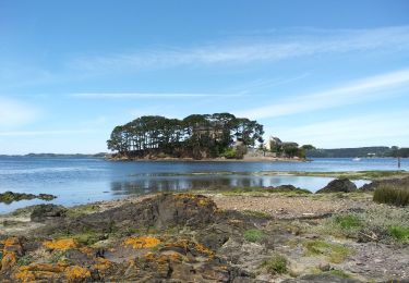
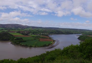
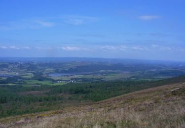
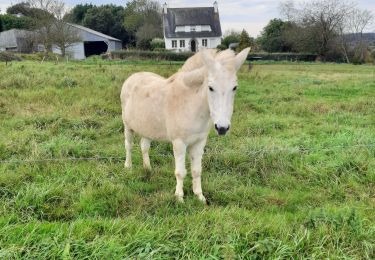
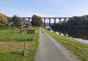
La randonnée propose de jolis points de vue sur l'Aulne et longe une zone humide (poste d'observation des oiseaux).

Walking
Walking
Walking
Mountain bike

Other activity
Walking
Walking