


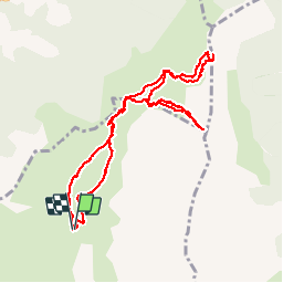

14 km | 25 km-effort

User


FREE GPS app for hiking
 SityTrail
IGN / Geographical institutes
SityTrail World
The world is yours!
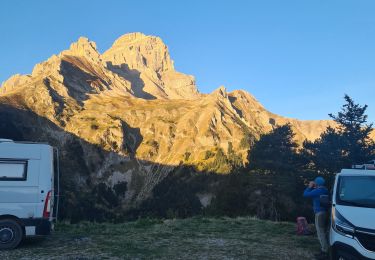
Trail Walking of 10.3 km to be discovered at Provence-Alpes-Côte d'Azur, Hautes-Alpes, Le Dévoluy. This trail is proposed by nadd73.
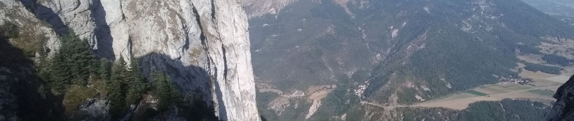
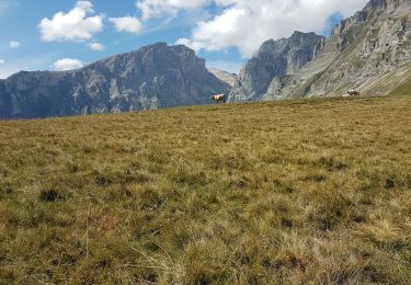
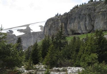
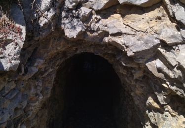
Après haut Gicon la piste de garer. Montée sur crête aérienne. pied sûr.


Walking

Walking

Walking
Walking

Walking
Walking

Walking
Walking
Walking