


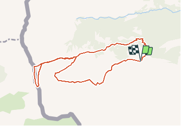

9.6 km | 17.9 km-effort


User


FREE GPS app for hiking
 SityTrail
IGN / Geographical institutes
SityTrail World
The world is yours!
Trail Walking of 9.7 km to be discovered at Valais/Wallis, Monthey, Champéry. This trail is proposed by duamerg.
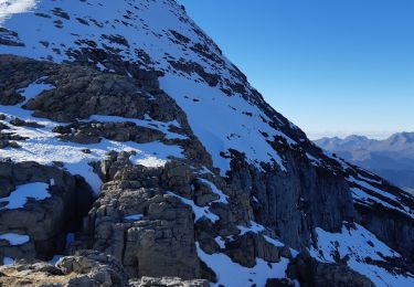
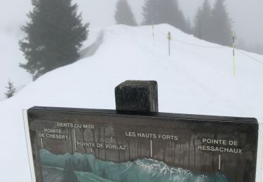
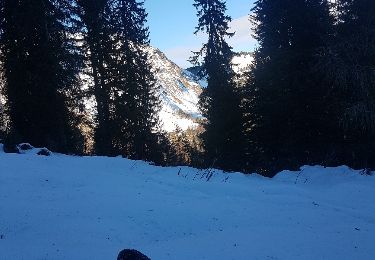
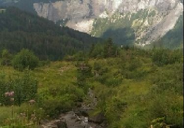
A la sortie de Champéry, suivre l'indicateur Barme, départ de la promenade. suivre les indicateurs Col de Cou. Avant le col, prendre à gauche vers deux cabanes, soit le Col de Bretelet. A cet endroit, au printemps et en automne, l'on prend dans des filets les oiseaux en migration. Très intéressant. Retour par les crêtes jusqu'au Sex blanc, puis descente sur Barme.

Walking
On foot

Walking
On foot
Walking
Walking
Snowshoes
Walking
Walking