


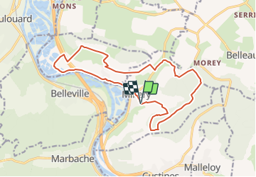


29 km | 35 km-effort


User


FREE GPS app for hiking
 SityTrail
IGN / Geographical institutes
SityTrail World
The world is yours!
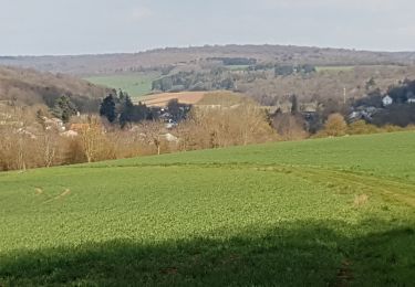
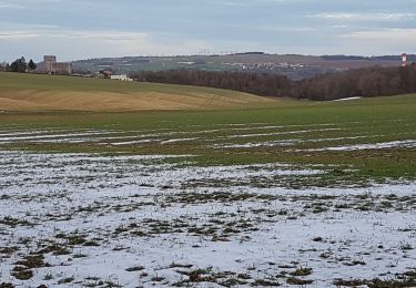
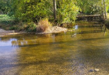
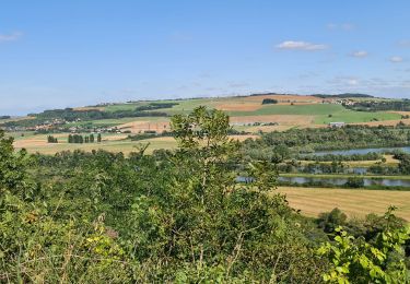
Trail Walking of 16.7 km to be discovered at Grand Est, Meurthe-et-Moselle, Millery. This trail is proposed by g.chotel.
MILLERY AUTREVILLE
TOUS UNIS CONTRE LE CANCER
MARCHE 2019
DIMANCHE 22 SEPTEMBRE
Cycle

On foot
Walking
Walking
Walking
Walking
Walking
Walking
Walking