


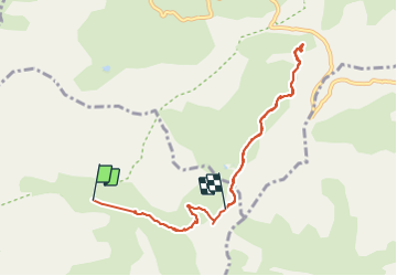


16.4 km | 34 km-effort

User


FREE GPS app for hiking
 SityTrail
IGN / Geographical institutes
SityTrail World
The world is yours!
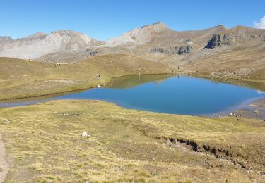
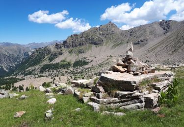
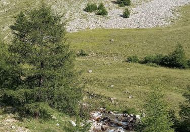
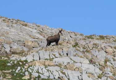
Trail Walking of 8.9 km to be discovered at Provence-Alpes-Côte d'Azur, Alpes-de-Haute-Provence, Uvernet-Fours. This trail is proposed by BLANCHET.
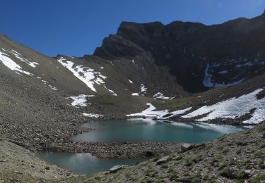
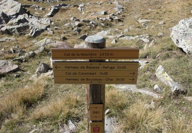
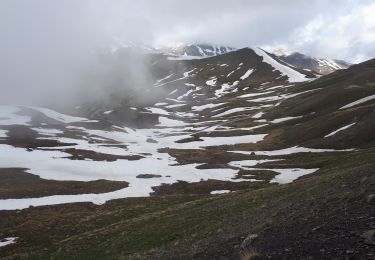
Départ au chalet de la Moutière, repas sous un blockhaus de la ligne Maginot.
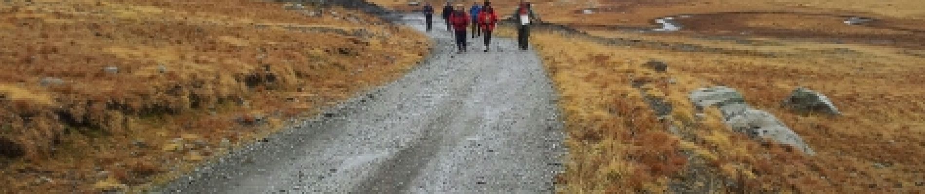
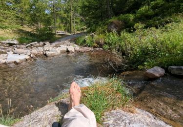
Rando sous la pluie.


Walking

Walking
On foot
Walking
Walking
Walking
Walking
Walking
Walking