


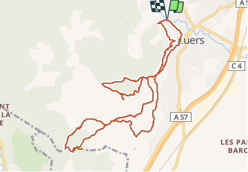


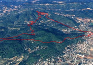
25 km | 34 km-effort

User


FREE GPS app for hiking
 SityTrail
IGN / Geographical institutes
SityTrail World
The world is yours!
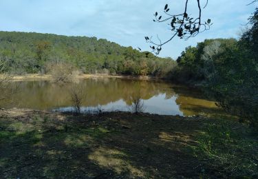
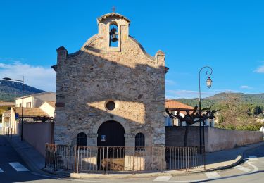
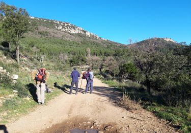
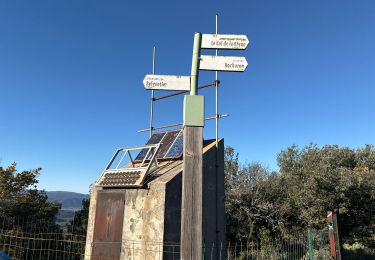
Trail Walking of 13.8 km to be discovered at Provence-Alpes-Côte d'Azur, Var, Cuers. This trail is proposed by Christiancordin.
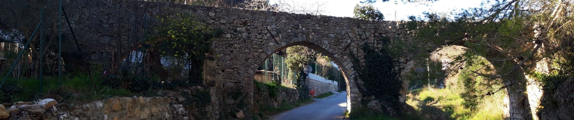
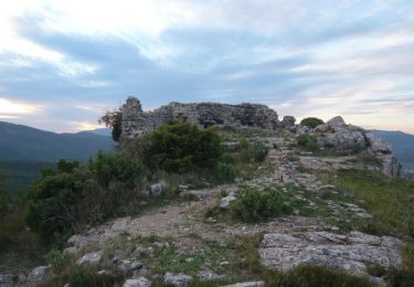
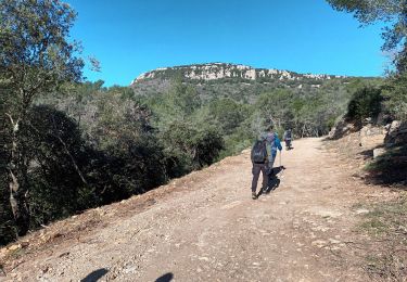
Cuers Aqueduc des 5 ponts Notre Dame de pitié le Castellas oppidum Chapelle Ste Christine.


21 photos in total. Please click on a photo to see them all in the gallery.
Mountain bike

Walking
Walking
Walking
Walking
Walking
Walking

Walking
Walking