


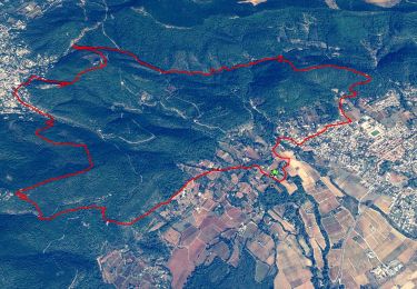
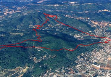
25 km | 34 km-effort

User


FREE GPS app for hiking
 SityTrail
IGN / Geographical institutes
SityTrail World
The world is yours!
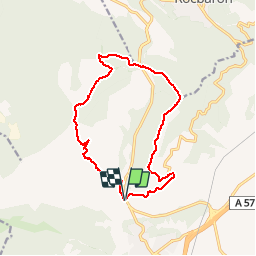
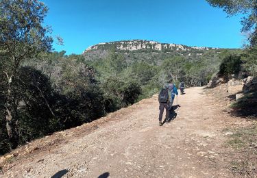
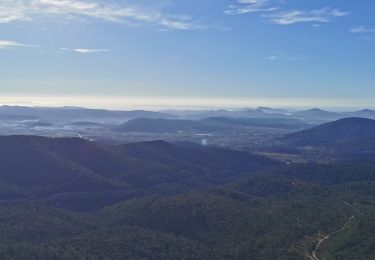
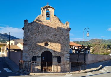
Trail Walking of 15.1 km to be discovered at Provence-Alpes-Côte d'Azur, Var, Cuers. This trail is proposed by marchev.

Mountain bike
Walking

Walking
Walking
Walking
Walking
Walking
Walking
Walking
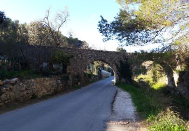
Franchir la D43 c'est pas très évident et pas prudent surtout en groupe