


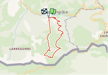

10.1 km | 14.2 km-effort


User


FREE GPS app for hiking
 SityTrail
IGN / Geographical institutes
SityTrail World
The world is yours!
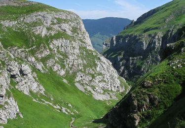
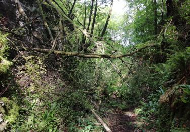
Trail Walking of 14.1 km to be discovered at New Aquitaine, Pyrénées-Atlantiques, Sainte-Engrâce. This trail is proposed by pacha56.
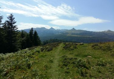
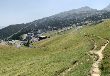
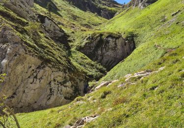
Beau parcours dans les gorges, avec des cascades et une belle forêt. ensuite parcours en montagne avec de belles vues...
On foot
Walking

Other activity
Walking
Walking

Walking
Walking

Walking
Walking