


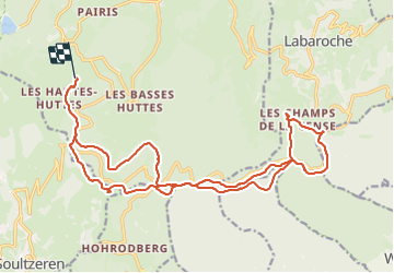


21 km | 30 km-effort

User GUIDE


FREE GPS app for hiking
 SityTrail
IGN / Geographical institutes
SityTrail World
The world is yours!
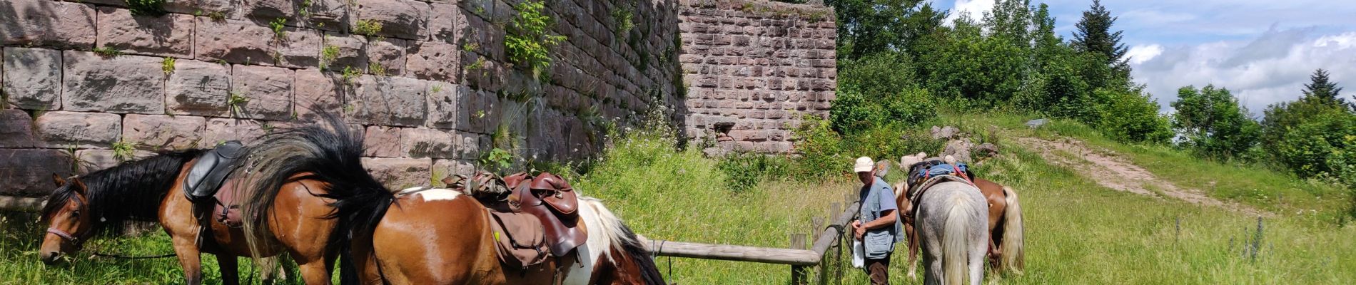
Trail Horseback riding of 22 km to be discovered at Grand Est, Haut-Rhin, Orbey. This trail is proposed by holtzv.
Boucle depuis le gite du Pré du Bois en passant par le Col du Wettstein, le mémorial du Linge, le château du petit Hohnack, le Baerenstall et le Glasborn


Horseback riding

Other activity

Walking

Walking

Walking

Walking

Walking

Mountain bike

Horseback riding