


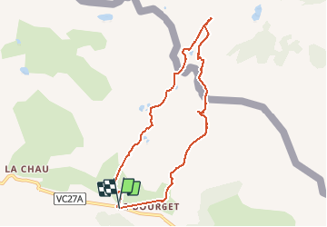

15.2 km | 31 km-effort


User


FREE GPS app for hiking
 SityTrail
IGN / Geographical institutes
SityTrail World
The world is yours!
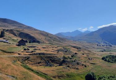
Trail Walking of 8.1 km to be discovered at Provence-Alpes-Côte d'Azur, Hautes-Alpes, Cervières. This trail is proposed by seghth.
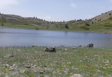
3h yc picnic. Possibilité de réduire d'1/2 h en suivant la crête frontière à droite, sans incursion en Italie

Walking

Walking

Walking

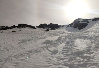
Snowshoes
Touring skiing
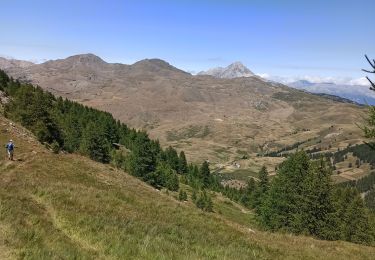
Walking
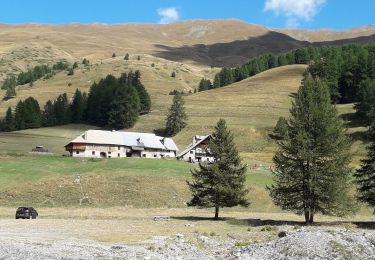
Walking
Walking
Walking