


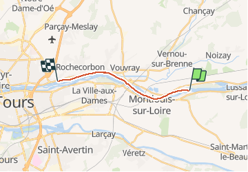

21 km | 26 km-effort


User


FREE GPS app for hiking
 SityTrail
IGN / Geographical institutes
SityTrail World
The world is yours!
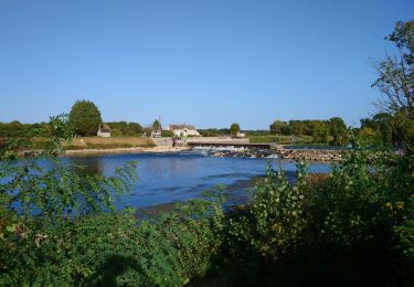
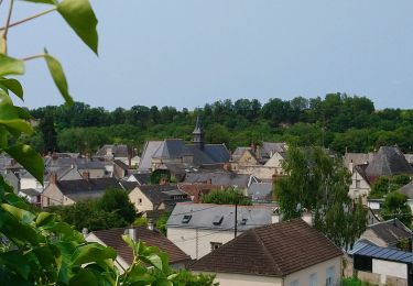
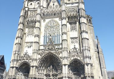
Trail Canoe - kayak of 10.7 km to be discovered at Centre-Loire Valley, Indre-et-Loire, Vernou-sur-Brenne. This trail is proposed by DaVinci.
Walking
Walking
Walking
Walking
Walking
Walking
Walking
Walking
Bicycle tourism