Trail Walking Champoléon - Lac Surat ou lac de Prelle - Photo
 Marco05
Marco05

User

© OpenStreetMap contributors
Length
Length
16.3 km
Max alt
Max alt
2496 m
Uphill gradient
Uphill gradient
1032 m
Km-Effort
Km-Effort  
30 km
Min alt
Min alt
1476 m
Downhill gradient
Downhill gradient
1032 m
Boucle
Boucle
Yes
Creation date :
2023-09-27 16:56:58.862
Updated on :
2023-09-28 06:17:37.643

(0 Reviews)

Walking
Walking
6h50
Difficulty : Very difficult

Scan this QR Code to open this trail in the SityTrail application

FREE GPS app for hiking

Logo SityTrail SityTrail

IGN / Geographical institutes

Download SityTrail from the App Store Download SityTrail from Google Play

Logo SityTrail SityTrail World

The world is yours!

Download SityTrail from the App Store Download SityTrail from Google Play Download SityTrail on Huawei AppGallery

About

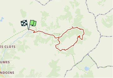
Trail Walking of 16.3 km to be discovered at Provence-Alpes-Côte d'Azur, Hautes-Alpes, Champoléon. This trail is proposed by Marco05.

Description

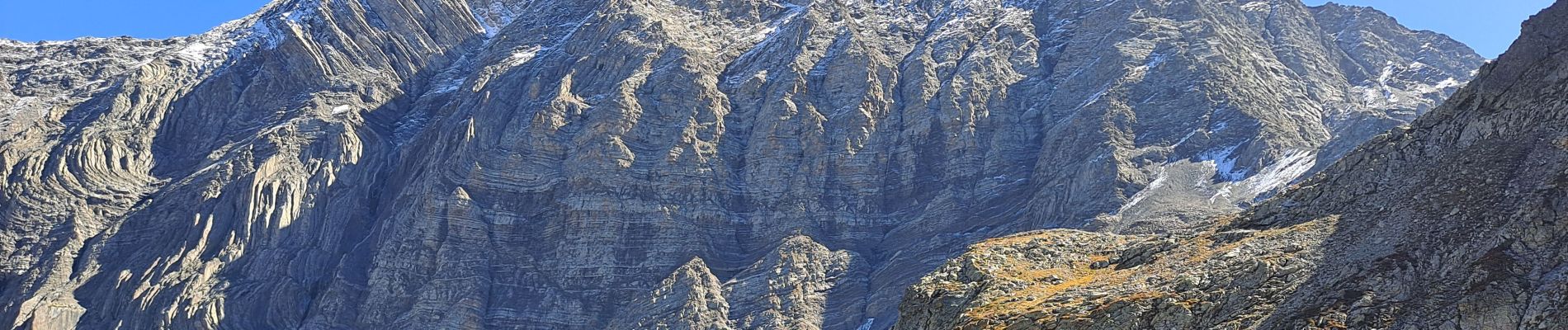
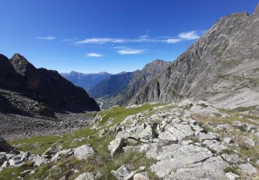
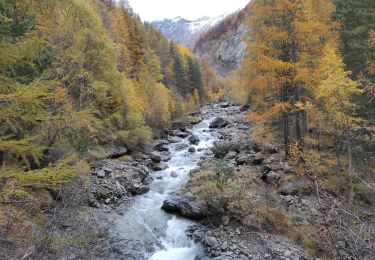
Randonnée très longue et très sportive réservée à des montagnards aguerris.
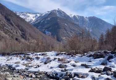
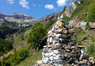
Entre le bas de la cascade de Prelles et le lac ce n'est pas un sentier officiel mais juste une trace. Il faut suivre mon parcours au plus près.
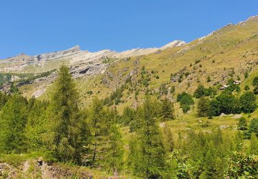
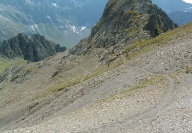
Après le lac, il y a encore 300m positif pour l'arrivée au col.
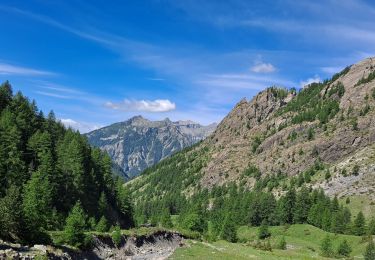
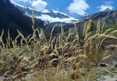
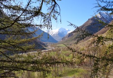
Si cette sortie est compliquée, par contre elle offre des paysages splendides dans un environnement très sauvage.

Elevation profile

Photos

Positioning

Country:
France
Region :
Provence-Alpes-Côte d'Azur
Department/Province :
Hautes-Alpes
Municipality :
Champoléon
Location:
Unknown
Start:(UTM)
284776 ; 4960191 (32T) N.

Trails nearby

Trail Walking Champoléon - Balade Vallée Champoléon - Photo
Walking
GUIDE
nadinebondoux

Walking

Easy
Champoléon, Provence-Alpes-Côte d'Azur, Hautes-Alpes, France
9.5 km | 12.2 km-effort
2h 40min
Yes
Trail Walking Champoléon - Refuge Tourond + Cascade 28/07/20 - Photo
Walking
GUIDE
R@ph

Walking

Difficult
Champoléon, Provence-Alpes-Côte d'Azur, Hautes-Alpes, France
9.8 km | 16.8 km-effort
3h 22min
No
Trail Walking Champoléon - PARC NATIONAL DES ECRINS: LACS DE CRUPILOUSE - Photo
Walking
djeepee74

Walking

Very difficult
Champoléon, Provence-Alpes-Côte d'Azur, Hautes-Alpes, France
17.4 km | 37 km-effort
7h 24min
Yes
Trail On foot Champoléon - Refuge du Tourond - Photo
On foot
Marco05

On foot

Easy
Champoléon, Provence-Alpes-Côte d'Azur, Hautes-Alpes, France
8.4 km | 14.2 km-effort
3h 14min
Yes
Trail Walking Champoléon - Méollion - Photo
Walking
Marco05

Walking

Medium
Champoléon, Provence-Alpes-Côte d'Azur, Hautes-Alpes, France
7.5 km | 13.7 km-effort
2h 59min
Yes
Trail Walking Champoléon - Boucle Isora - Photo
Walking
Marco05

Walking

Very difficult
Champoléon, Provence-Alpes-Côte d'Azur, Hautes-Alpes, France
17.8 km | 38 km-effort
8h 39min
Yes
Trail Walking Champoléon - Village de Méollion.26/10/20. - Photo
Walking
Dervalmarc

Walking

Easy
Champoléon, Provence-Alpes-Côte d'Azur, Hautes-Alpes, France
6.4 km | 12 km-effort
2h 21min
Yes
Trail Walking Champoléon - 20190514_Les Fermonds_Refuge du Tourond_Les Bouquetins - Photo
Walking
PapouBertrand

Walking

Medium
Champoléon, Provence-Alpes-Côte d'Azur, Hautes-Alpes, France
10.3 km | 19.7 km-effort
5h 36min
Yes
Trail Walking Champoléon - Valestreche et le Gourette depuis les Beaumes. 01/05/19. - Photo
Walking
Dervalmarc

Walking

Difficult
Champoléon, Provence-Alpes-Côte d'Azur, Hautes-Alpes, France
11.1 km | 22 km-effort
4h 29min
No


Close
My subscriptions