


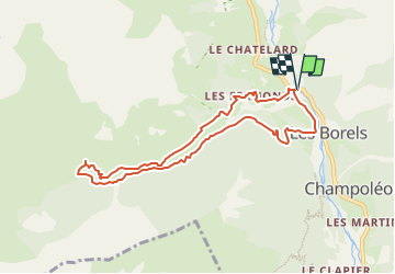

9.5 km | 12.2 km-effort

User


FREE GPS app for hiking
 SityTrail
IGN / Geographical institutes
SityTrail World
The world is yours!
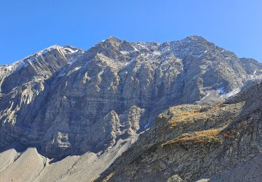
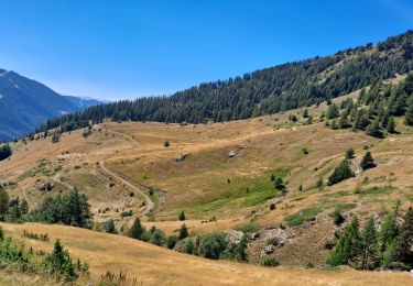
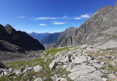
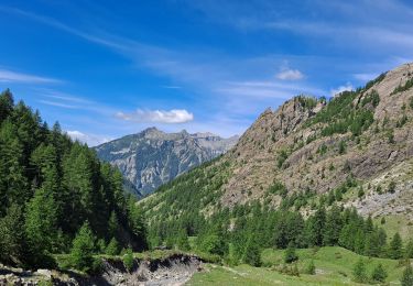
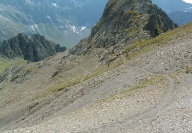
Trail On foot of 8.4 km to be discovered at Provence-Alpes-Côte d'Azur, Hautes-Alpes, Champoléon. This trail is proposed by Marco05.
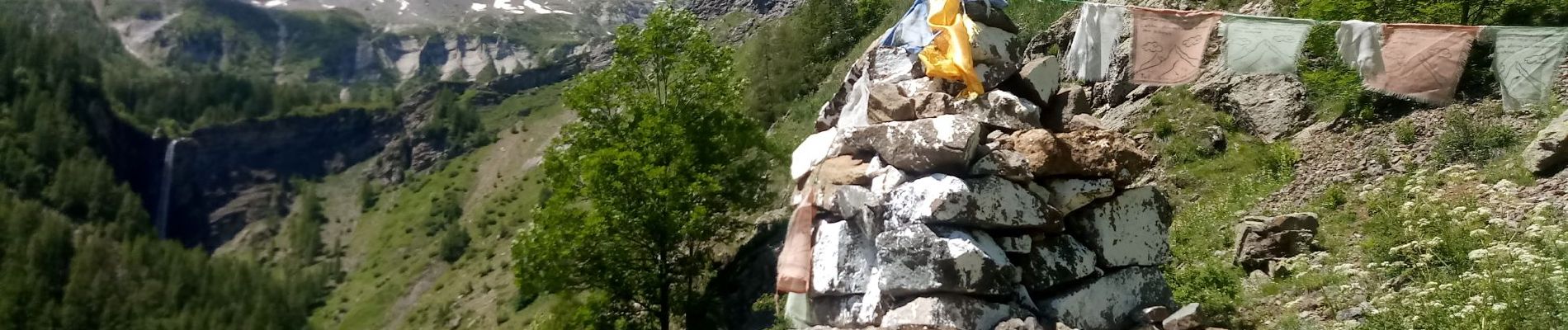
Petite refuge très sympa et facile d'accès.
Départ des Fermonts, situé juste après les Borels, dans la vallée de Champoléon.


Walking
Walking
Walking

Walking
Walking
Walking
Walking
Walking

Walking