


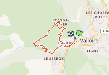


15.5 km | 29 km-effort

User


FREE GPS app for hiking
 SityTrail
IGN / Geographical institutes
SityTrail World
The world is yours!
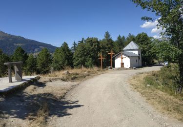
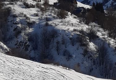
Trail Walking of 4.4 km to be discovered at Auvergne-Rhône-Alpes, Savoy, Valloire. This trail is proposed by Sigmut.
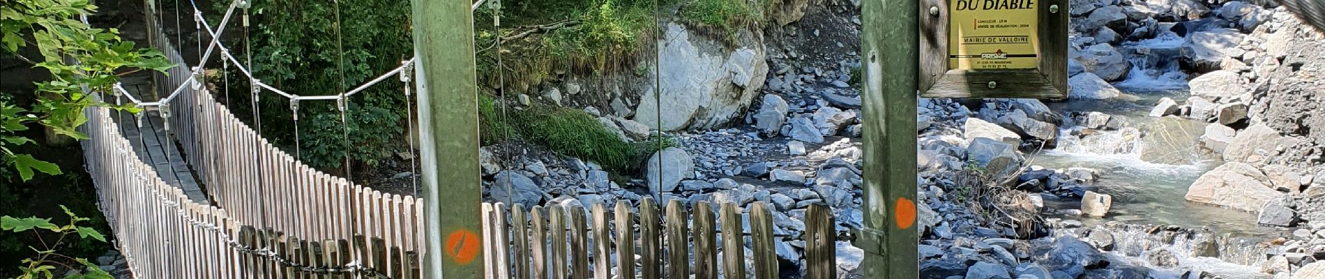
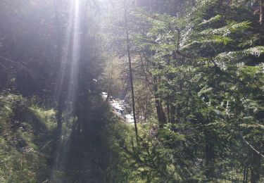
Vue sur de magnifiques cascades et trous d'eau inaccessible et d'un magnifique petit hameau authentique.
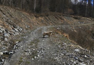
Randonnée effectuée avec un enfant de 5 ans.


35 photos in total. Please click on a photo to see them all in the gallery.
Walking

Walking
Walking
Walking
Walking
Walking
Walking
Walking

Walking