


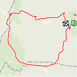


10.5 km | 18.5 km-effort

User


FREE GPS app for hiking
 SityTrail
IGN / Geographical institutes
SityTrail World
The world is yours!
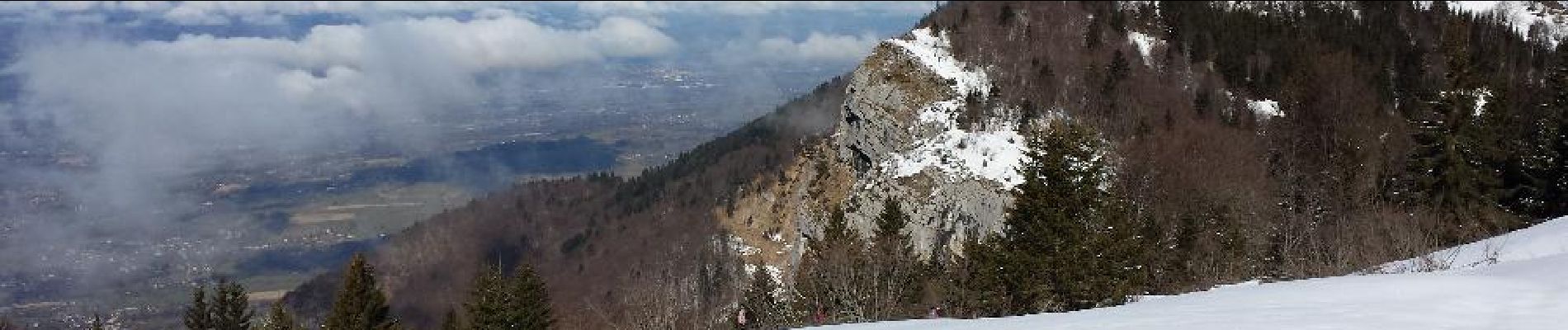
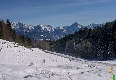
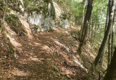
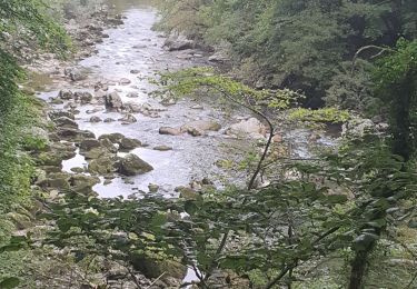
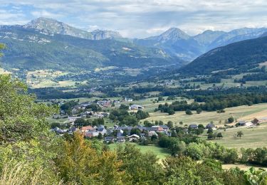
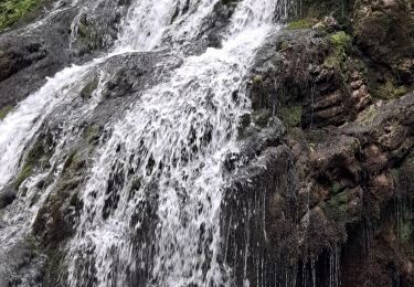
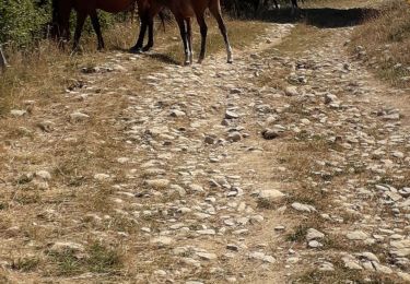
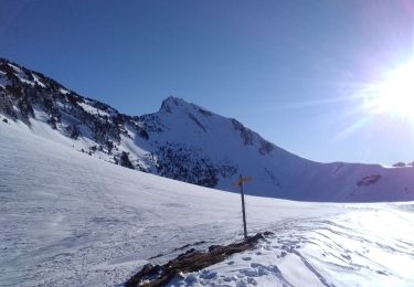
Trail Snowshoes of 10.6 km to be discovered at Auvergne-Rhône-Alpes, Savoy, Arith. This trail is proposed by patricecoutaz.
Randonnée
pédestre en hiver.


Walking
Walking
Walking

Walking
Walking
Walking
Walking

On foot
Touring skiing
sympa