


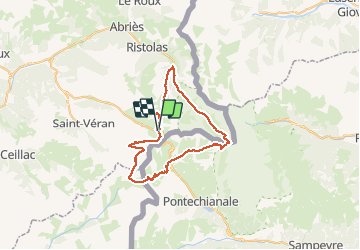

13.1 km | 23 km-effort

User


FREE GPS app for hiking
 SityTrail
IGN / Geographical institutes
SityTrail World
The world is yours!
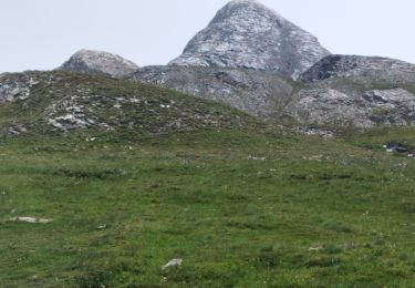
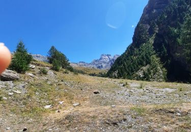
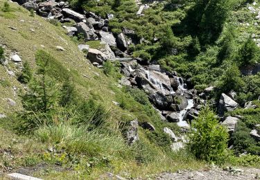
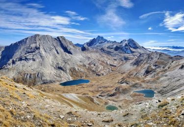
Trail Walking of 54 km to be discovered at Provence-Alpes-Côte d'Azur, Hautes-Alpes, Molines-en-Queyras. This trail is proposed by nmo69100.
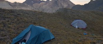
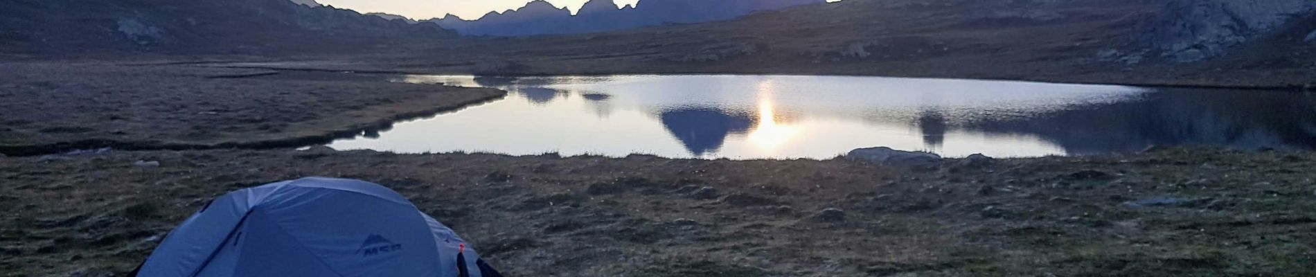
depart du col Agnel
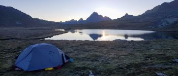
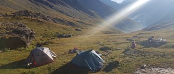
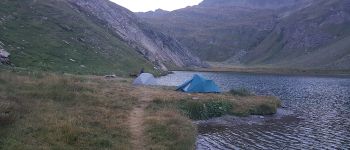
etapes de 15/17 km avec bivouac près d'un lac si possible


Walking

Walking

Walking

Walking

Walking
Walking
Walking
Walking
Walking