


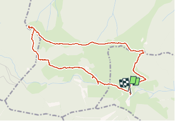

8.1 km | 12.3 km-effort

User


FREE GPS app for hiking
 SityTrail
IGN / Geographical institutes
SityTrail World
The world is yours!
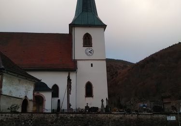
Trail Walking of 4.9 km to be discovered at Grand Est, Haut-Rhin, Kirchberg. This trail is proposed by helmut68.
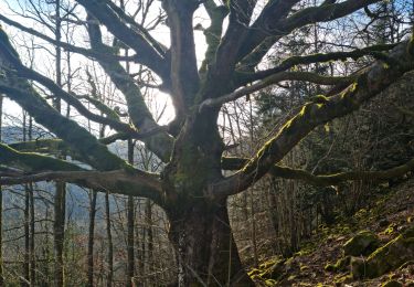
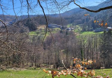
Boucle ( départ et arrivée ) à partir de la FA du Lochberg. C'est une randonnée facile , praticable presque toute l'année et qui vous donne l'occasion de vous restaurer à la FA ( ouverte de avril à novembre,sauf le dimanche & jours fériés)
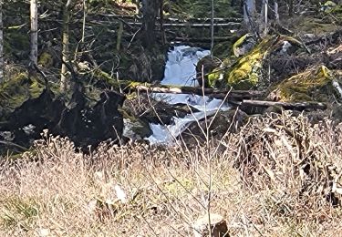
Concernant le parcours, suivre le balisage "rectangle bleu" jusqu'à l'abri du Graber, puis le balisage "bleu blanc bleu " jusqu'à l'abri du Sommerseite pour finir par" l'anneau bleu" jusqu'à la FA du Lochberg.
Alors à vos chaussures !!!


Walking
Walking
Walking

Walking

Walking
Walking
Walking
Walking
Walking