


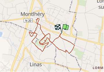

27 km | 32 km-effort


User


FREE GPS app for hiking
 SityTrail
IGN / Geographical institutes
SityTrail World
The world is yours!
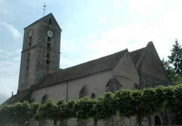
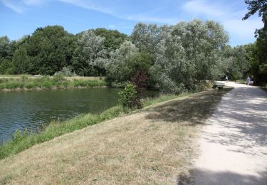
Trail Walking of 5.3 km to be discovered at Ile-de-France, Essonne, Montlhéry. This trail is proposed by gdela.
balade tranquille par un temps grisatre

Walking
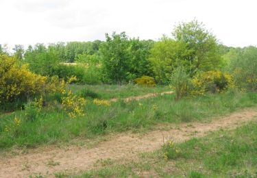
Walking

Walking

Walking
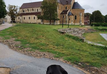
Walking
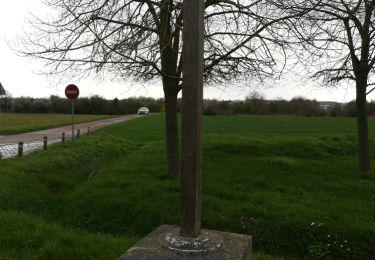
Walking
Cycle

Walking
Walking