


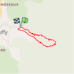


18.2 km | 35 km-effort

User


FREE GPS app for hiking
 SityTrail
IGN / Geographical institutes
SityTrail World
The world is yours!
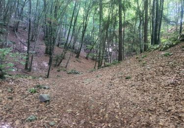
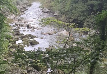
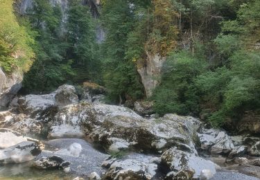
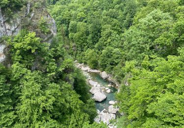
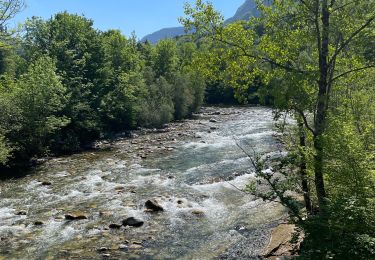
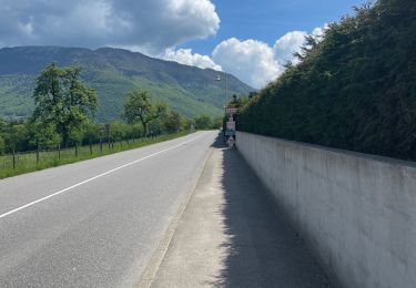
Trail Walking of 3 km to be discovered at Auvergne-Rhône-Alpes, Upper Savoy, Gruffy. This trail is proposed by woody85.


Walking
Walking
Walking

Walking

Walking
Walking
Walking
Walking
Walking
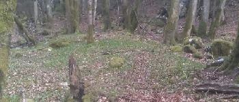
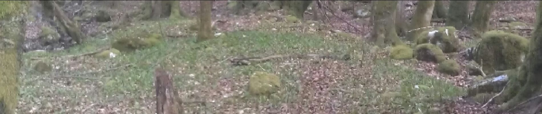
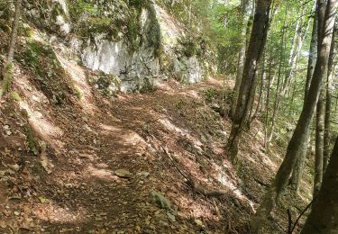
rando agréable sur la 1ère partie, par contre la 2ème partie n'est pas très cool avec quelques glissades sur les gros cailloux. A éviter par temps humide