


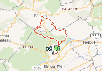

11 km | 15.3 km-effort


User


FREE GPS app for hiking
 SityTrail
IGN / Geographical institutes
SityTrail World
The world is yours!
Trail Walking of 16.1 km to be discovered at Occitania, Pyrénées-Orientales, Ille-sur-Têt. This trail is proposed by Erius.
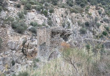
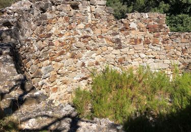
sentiers chemins église
16 km 450 déni


Walking
Walking

Walking

Walking
Walking
Walking

Walking

Walking

Walking