


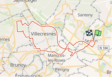


16.8 km | 18.6 km-effort


Club randonnées SERVON


FREE GPS app for hiking
 SityTrail
IGN / Geographical institutes
SityTrail World
The world is yours!
Trail Walking of 20 km to be discovered at Ile-de-France, Seine-et-Marne, Servon. This trail is proposed by Les 1000 pattes.
Randonnée urbaine
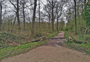
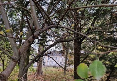
Pique nique allée du château dans la forêt de la Grange
A faire par temps humide ou froid

Walking

Walking

Walking

On foot
On foot

Walking

On foot

On foot
On foot