


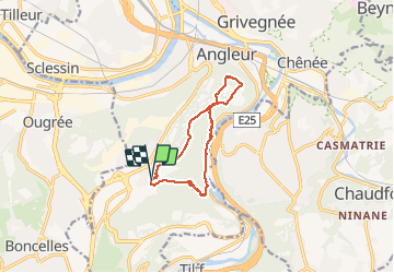

20 km | 28 km-effort
J'irai où tu iras


FREE GPS app for hiking
 SityTrail
IGN / Geographical institutes
SityTrail World
The world is yours!
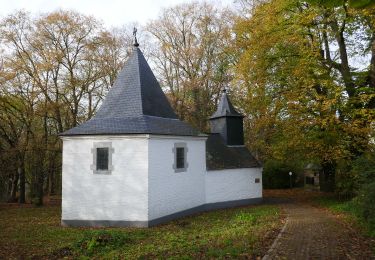
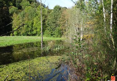
Trail Walking of 9.7 km to be discovered at Wallonia, Liège, Liège. This trail is proposed by DeP .
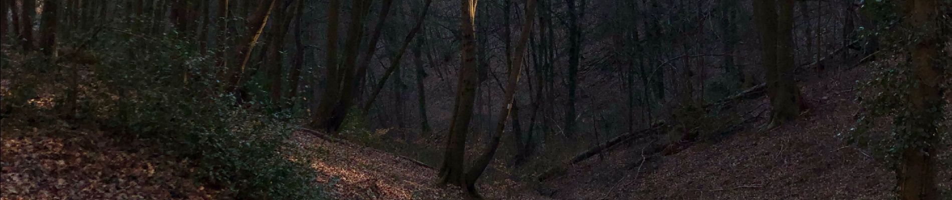
Aller super balade et Landes surprenante avec vue incontournable. Retour le long de l’Ourthe par le Ravel nettement moins bucolique et remontée raide .


Walking

Walking

Walking

Walking

Walking
Walking
Walking

Walking
Walking