


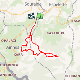


18.3 km | 29 km-effort


User


FREE GPS app for hiking
 SityTrail
IGN / Geographical institutes
SityTrail World
The world is yours!
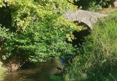
Trail Walking of 13.5 km to be discovered at New Aquitaine, Pyrénées-Atlantiques, Souraïde. This trail is proposed by DECHAMPD.
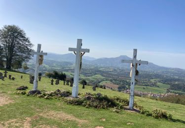
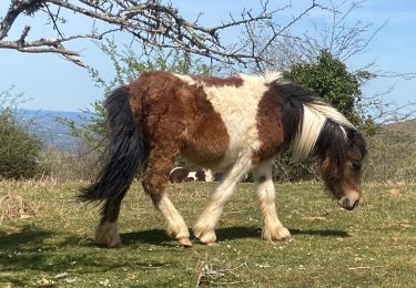
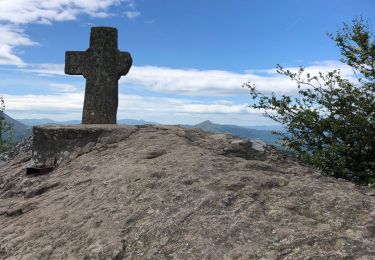
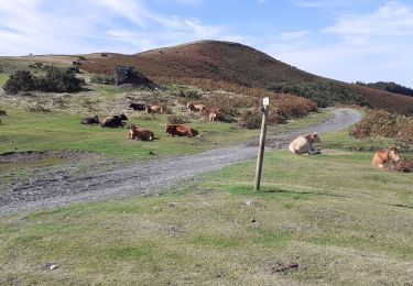
depuis le col dePINADIETA, Mendiondoa, la chapelle d'Arantze et le calvaire, le col des trois croix, le refuge Gainekoborda avec contour de l'Atzulegi, la face nord de l'Erebi par le GR10.
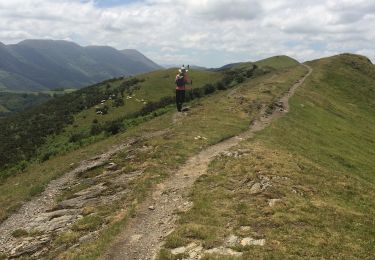
Walking

Running

Walking
Walking
Walking
Walking
Walking
Walking
Walking