


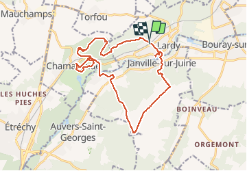


19.3 km | 23 km-effort

User


FREE GPS app for hiking
 SityTrail
IGN / Geographical institutes
SityTrail World
The world is yours!
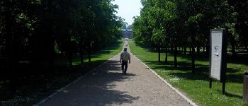
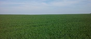
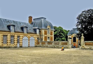
Trail Walking of 18.3 km to be discovered at Ile-de-France, Essonne, Lardy. This trail is proposed by nicolas93.
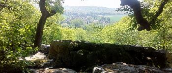
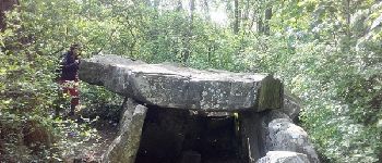
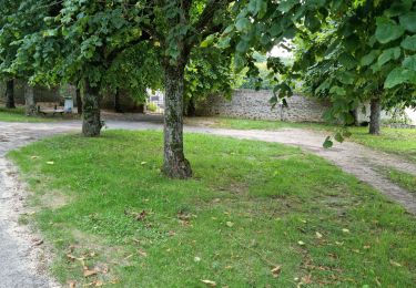
Pas de difficulté sauf la descente sur Chamarande dans les blocs de grès. La partie entre Gillevoisin et la Pierre levée peut être écourté par la forêt.


Walking

Walking

Mountain bike
On foot
On foot

Walking
Walking
On foot
Walking