


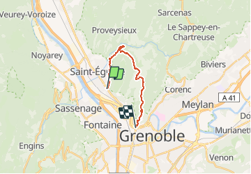

6.2 km | 13.3 km-effort


User


FREE GPS app for hiking
 SityTrail
IGN / Geographical institutes
SityTrail World
The world is yours!
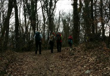
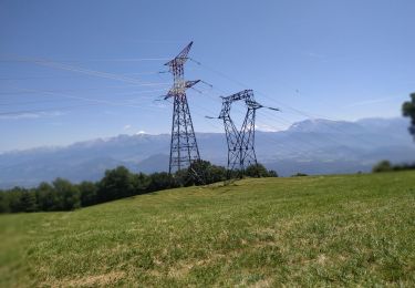
Trail Walking of 13.9 km to be discovered at Auvergne-Rhône-Alpes, Isère, Saint-Martin-le-Vinoux. This trail is proposed by Emelle.
Du lac de Fiancey à parc Guy Pape de Grenoble en passant par le Mémorial des Troupes de Montagne.


Walking
Nordic walking
Walking
Walking

Mountain bike

On foot

Walking

Mountain bike
Walking