


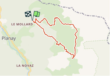

11.4 km | 24 km-effort

User GUIDE


FREE GPS app for hiking
 SityTrail
IGN / Geographical institutes
SityTrail World
The world is yours!
Trail Walking of 8.8 km to be discovered at Auvergne-Rhône-Alpes, Savoy, Planay. This trail is proposed by amiral13.
Attention le parking est très petit, il faudra donc prévoir d'arriver tôt.
Pour le retour entre le refuge et la Fontaine froide, quelques passages sont équipés de chaines, pas forcément utiles pour les personnes aguerries.
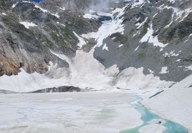
En début de saison un névé peut persister au niveau du ruisseau de fontaine froide.
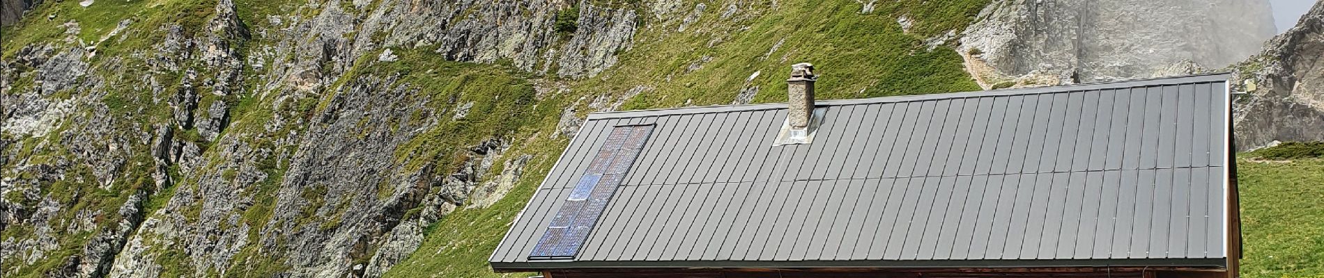
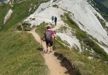
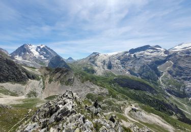
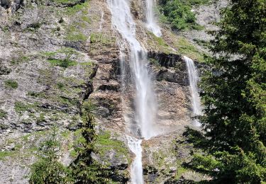
 - Photo 1")
 - Photo 2")
 - Photo 3")
 - Photo 4")
 - Photo 5")
 - Photo 6")
 - Photo 7")
Walking
Walking
Walking
Walking
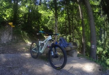
Mountain bike

Walking
Walking
Walking
Walking