


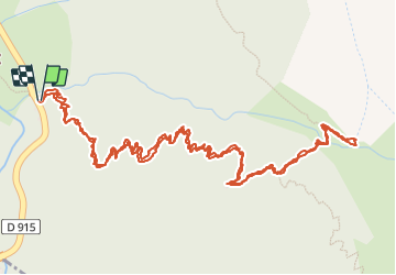

11.4 km | 24 km-effort

User GUIDE


FREE GPS app for hiking
 SityTrail
IGN / Geographical institutes
SityTrail World
The world is yours!
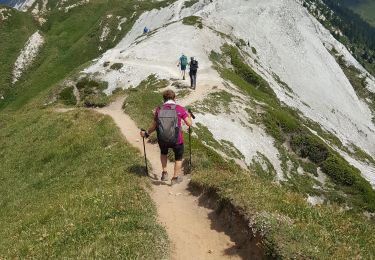
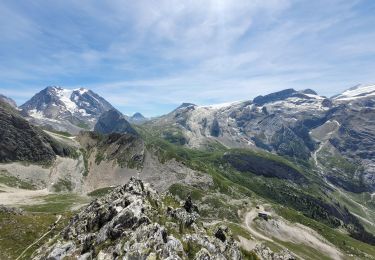
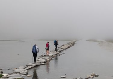
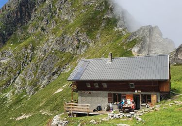
Trail Walking of 4.3 km to be discovered at Auvergne-Rhône-Alpes, Savoy, Planay. This trail is proposed by amiral13.
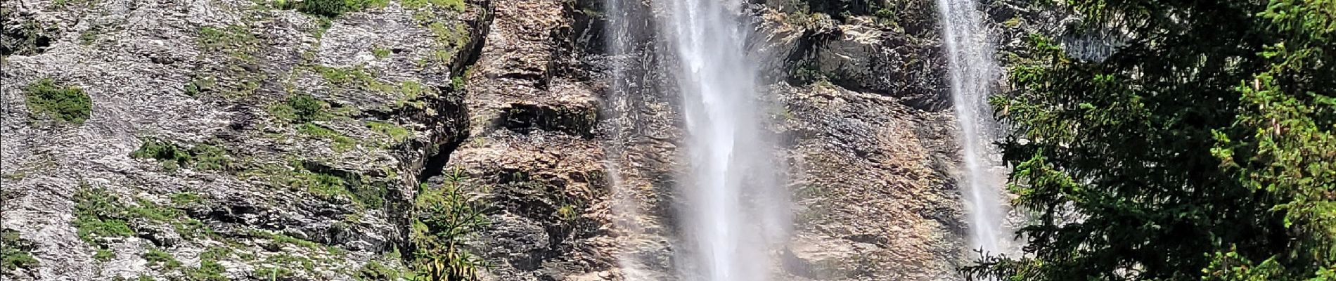
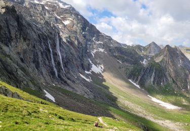
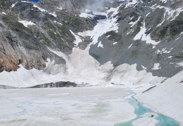
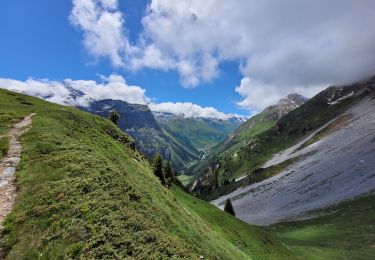
jeudi 13 juillet petite randonnée jusqu'à la magnifique cascade de la Vuzelle.


Walking
Walking
Walking
Walking
Walking
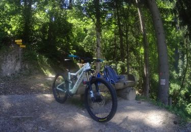
Mountain bike
Walking
Walking

Walking