


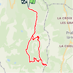


11.4 km | 24 km-effort


User


FREE GPS app for hiking
 SityTrail
IGN / Geographical institutes
SityTrail World
The world is yours!
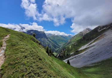
Trail Walking of 19.8 km to be discovered at Auvergne-Rhône-Alpes, Savoy, Courchevel. This trail is proposed by Brusa.
Montée classique au départ de Courchevel 1650. Retour par la combe des Roches
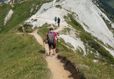
Walking

Walking
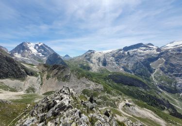
Walking
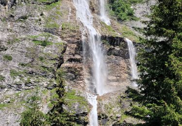
Walking
Walking
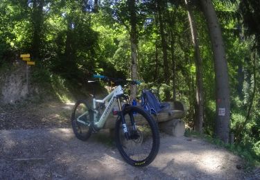
Mountain bike
Walking

Walking
Walking