


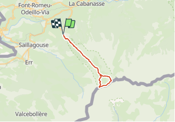

24 km | 43 km-effort

User


FREE GPS app for hiking
 SityTrail
IGN / Geographical institutes
SityTrail World
The world is yours!
Trail Walking of 21 km to be discovered at Occitania, Pyrénées-Orientales, Eyne. This trail is proposed by ThonyM.
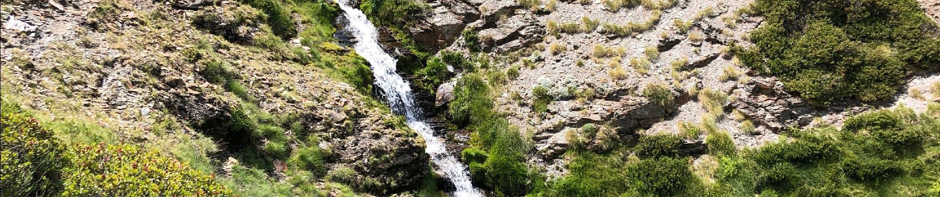
Ce fut un merveilleux rendez-vous avec la faune


Walking

Snowshoes

Walking

Snowshoes

Walking

Walking

Walking

Mountain bike

Walking