


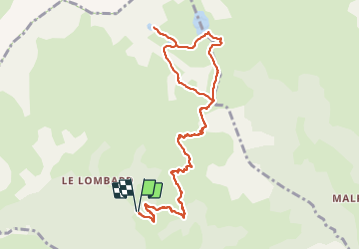

19.1 km | 36 km-effort


User


FREE GPS app for hiking
 SityTrail
IGN / Geographical institutes
SityTrail World
The world is yours!
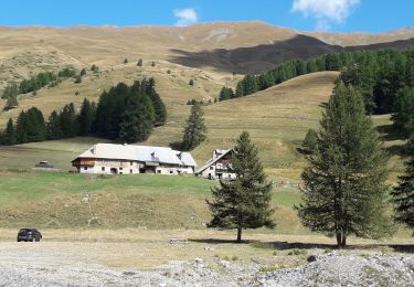
Trail Walking of 12.1 km to be discovered at Provence-Alpes-Côte d'Azur, Hautes-Alpes, Aiguilles. This trail is proposed by annehc.
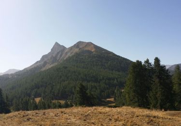
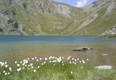
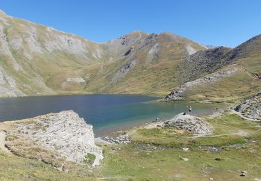
topo Queyras 21 belles balades
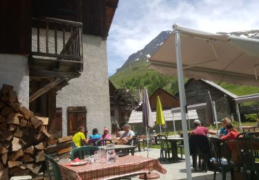
piste avec bcp de pierres jusqu'au dernier embranchement mais fin bien meilleure car moins minérales
Walking

Walking
Walking
Walking
Walking
Electric bike
Walking
Mountain bike

Mountain bike