


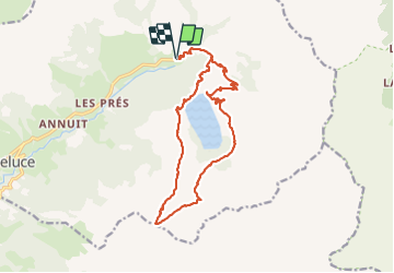

10.2 km | 17.6 km-effort

User


FREE GPS app for hiking
 SityTrail
IGN / Geographical institutes
SityTrail World
The world is yours!
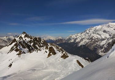
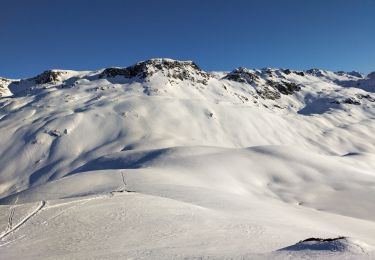
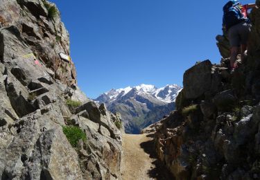
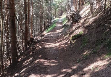
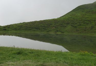
Trail Walking of 17.2 km to be discovered at Auvergne-Rhône-Alpes, Savoy, Hauteluce. This trail is proposed by joelinou.
La. Girotte lac noir


Walking
Walking

Walking
Touring skiing
Touring skiing
Walking
Walking
Mountain bike
Walking