


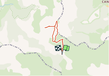

8.6 km | 18.5 km-effort

User


FREE GPS app for hiking
 SityTrail
IGN / Geographical institutes
SityTrail World
The world is yours!
Trail Walking of 5.7 km to be discovered at Provence-Alpes-Côte d'Azur, Hautes-Alpes, Gap. This trail is proposed by Dervalmarc.
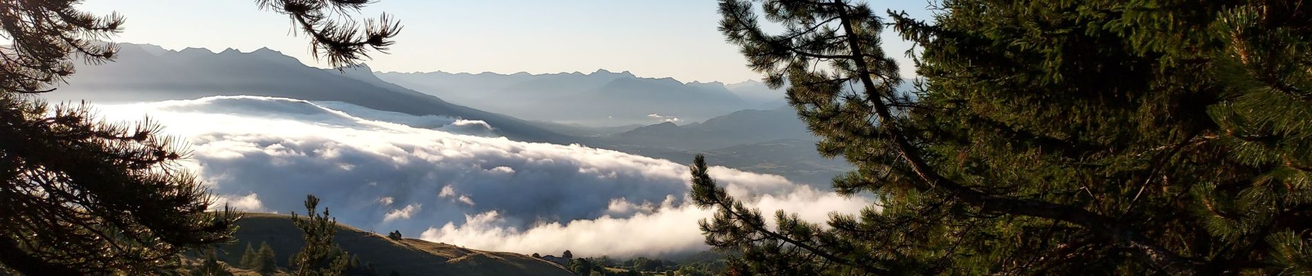
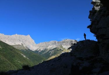
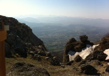
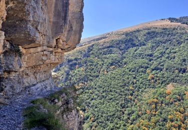
Randonnée avec une sensation de haute montagne aux portes de Gap.
faible dénivelé.
Vraie richesse en faune et flore.
Randonnée a éviter le wend kend en raison de la sur fréquentation du a la proximité de Gap.


Walking
On foot
Walking
Walking
Walking

Walking
Walking

Walking
Walking