


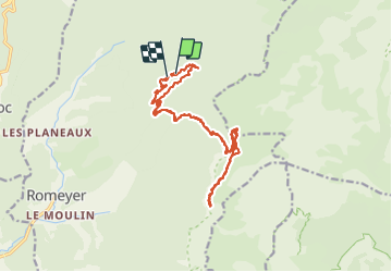

13.7 km | 21 km-effort

User


FREE GPS app for hiking
 SityTrail
IGN / Geographical institutes
SityTrail World
The world is yours!
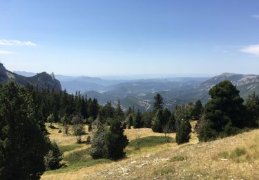
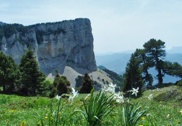
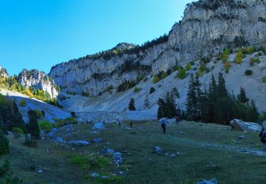
Trail Walking of 19.5 km to be discovered at Auvergne-Rhône-Alpes, Drôme, Romeyer. This trail is proposed by nadd73.
Départ de Romeyer, les planeaux et rte forestière, parking avant la barrière.
Je l'ai faite en allée retour.
C'est un topos de Pascal Sombardier, dans son blog.
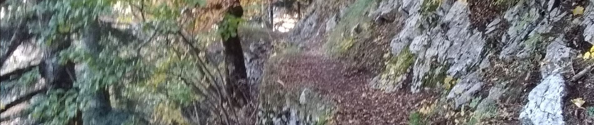
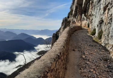
Quelques endroits et la vire sont aériennes et 300m de vide dessous donc il avoir un pied sûr et ne pas av
oir peur du vide.
Très jolie randonnée avec les couleurs d'automne.


Walking

Walking
Walking
Walking
Walking

Snowshoes
Walking
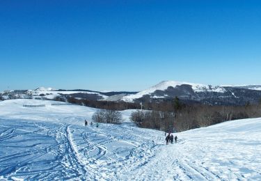
Snowshoes
Walking