


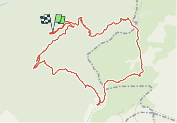


13.7 km | 21 km-effort

User


FREE GPS app for hiking
 SityTrail
IGN / Geographical institutes
SityTrail World
The world is yours!
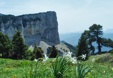
Trail Walking of 15.6 km to be discovered at Auvergne-Rhône-Alpes, Drôme, Romeyer. This trail is proposed by Philindy26.
Départ du parking de Fournaire (995 m), commune de Romeyer.
Géolocalisation (Google Maps) : https://goo.gl/maps/2ZnMno8JLRAvkGkC7
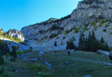
Monter au Col des Bachassons (1661 m) par Les Drayes (1055 m), le Pas de Pillouse (1308 m), Vire Sac (1340 m), le Col de Vire Sac (1365 m) et enfin Les Charbonnières (1285 m).
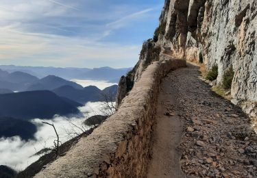
Entre le Col de Vire Sac et Les Charbonnières, vous aurez droit à un super sentier en balcon.
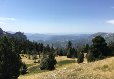
Au Col des Bachassons, continuer sur le Plateau en suivant le GR91 - GR93 et en passant par le Col du Pison (1655 m) pour rejoindre Le Pison (1613 m).
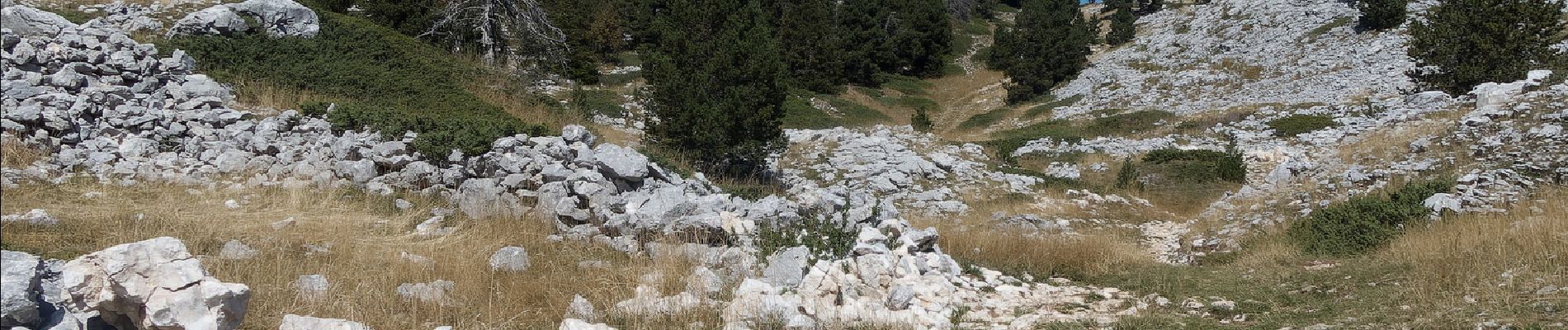
Là prendre la descente en direction de l'Abri du Pison - Baraque forestière (1540 m). Ici vous pourrez voir la Fontaine de l'Ours (1505 m) en un aller-retour.
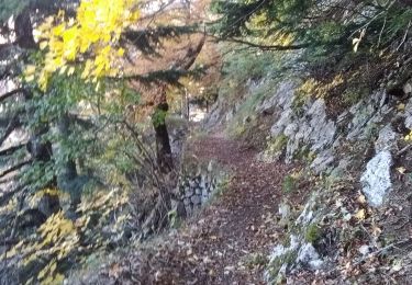
Continuer jusqu'à Lentillière (1440 m) avec un sentier assez aérien. où vous prendrez la descente (abrupte et soutenue) sur 1,2 Km avec 440 mètres de dénivelé pour arriver au Château (1000 m).
Finir par la piste pour rejoindre les Drayes et le parking.


160 photos in total. Please click on a photo to see them all in the gallery.
Walking

Walking
Walking
Walking

Snowshoes
Walking
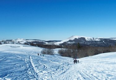
Snowshoes
Walking
Walking