


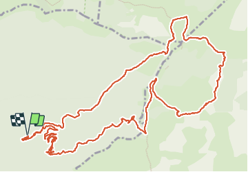

13.7 km | 21 km-effort

User


FREE GPS app for hiking
 SityTrail
IGN / Geographical institutes
SityTrail World
The world is yours!
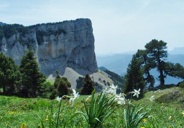
Trail Walking of 18.2 km to be discovered at Auvergne-Rhône-Alpes, Drôme, Romeyer. This trail is proposed by ajd26.
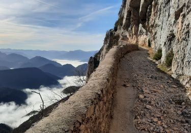
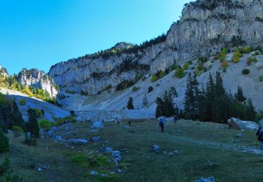
départ commune de Romeyer, montée très soutenue par le pas de Chabrinel
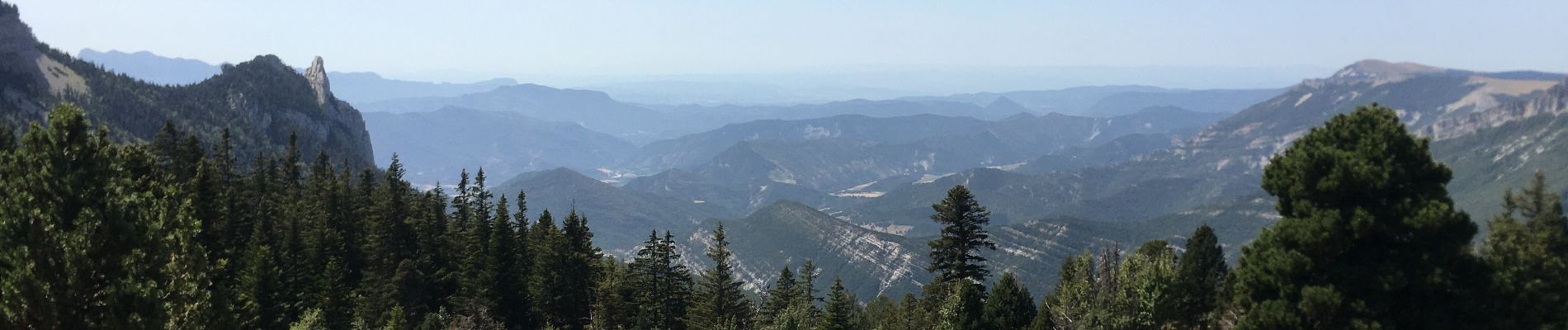
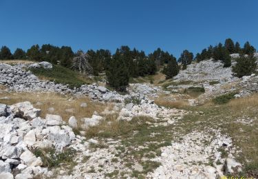
ensuite superbes panoramas et un 360° au sommet de Tourte-Barreaux
retour très doux et ombragé


Walking

Walking
Walking
Walking

Snowshoes
Walking
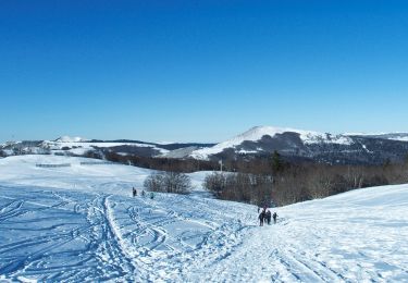
Snowshoes
Walking
Walking