


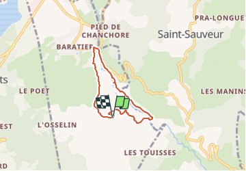

11.1 km | 19 km-effort


User


FREE GPS app for hiking
 SityTrail
IGN / Geographical institutes
SityTrail World
The world is yours!
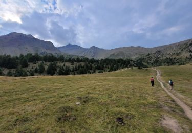
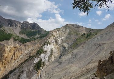
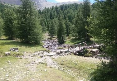
Trail Walking of 5.3 km to be discovered at Provence-Alpes-Côte d'Azur, Hautes-Alpes, Baratier. This trail is proposed by damlou.
Aller idem grande boucle à la maison rose tout droit vers place village facile
Retour le long du vachère attention par temps de pluie
Chemin vallonné

Walking

Walking

Mountain bike
Walking

Walking
Walking
Walking

Walking

Touring skiing