


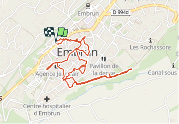

10.6 km | 21 km-effort

User


FREE GPS app for hiking
 SityTrail
IGN / Geographical institutes
SityTrail World
The world is yours!
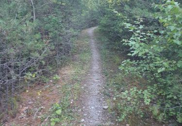
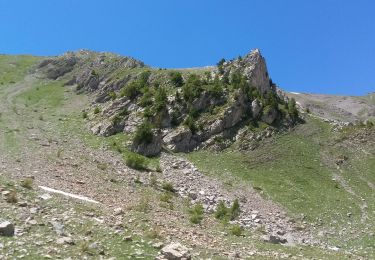
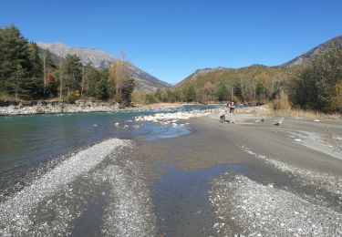
Trail Walking of 3.1 km to be discovered at Provence-Alpes-Côte d'Azur, Hautes-Alpes, Embrun. This trail is proposed by Orcal37.
Embrun - 3.4km 90m 1h00 - 2018 06 26 - privé


Walking

Walking

Walking

Walking
Walking
Walking
Walking
Walking
Walking