


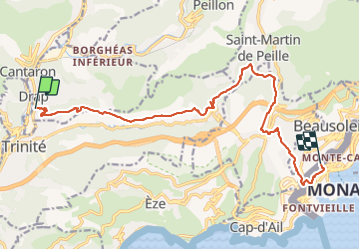

10.3 km | 16.7 km-effort


User


FREE GPS app for hiking
 SityTrail
IGN / Geographical institutes
SityTrail World
The world is yours!
Trail Walking of 16 km to be discovered at Provence-Alpes-Côte d'Azur, Maritime Alps, Drap. This trail is proposed by coriace.
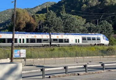
Départ de Drap via un Uber direction gare de Monaco en passant par la Turbie


Walking

On foot

Walking
Walking

Walking
Walking
Walking
Walking

Walking